Project 1: Building Geospatial Visualizations with Leaflet
This is a student-run workshop workshop session on the Leaflet package in R.
- equip attendees with conceptual knowledge about the leaflet package and some of its applications for geospatial analysis
- show attendees key functions and the basic steps to make an interactive map in R
- provide attendees with practice exercises as well as some further material that can be useful for the topic of this workshop
Tasks involed:
- Acquiring data from various sources online
- Cleaning and processing data
- Creating visualizations and tweaking settings
- Creating materials that can be understood and replicated by all audiences
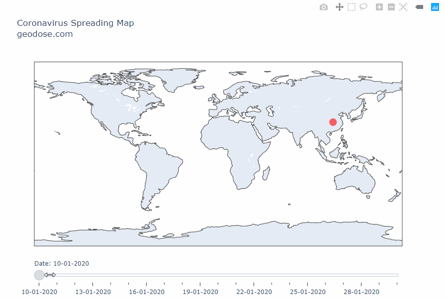
EXAMPLE: Interactive Visualization Timeline of COVID